C-MAP detailed charts – the best features in one app!

Easy planning and navigation

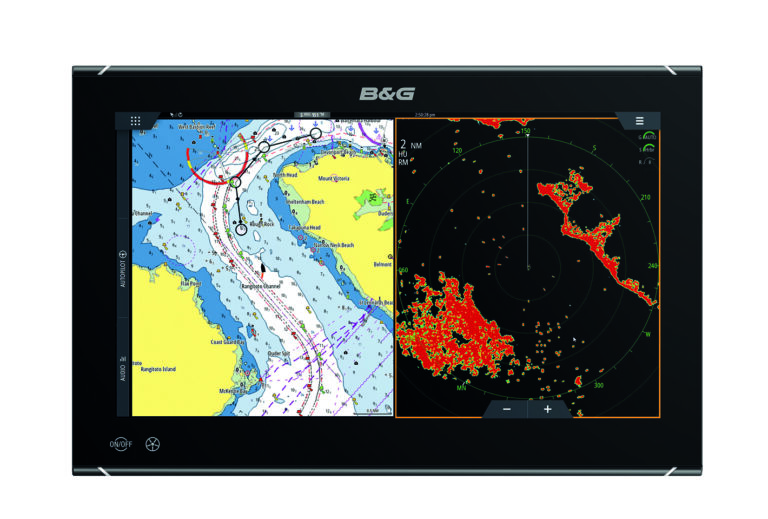
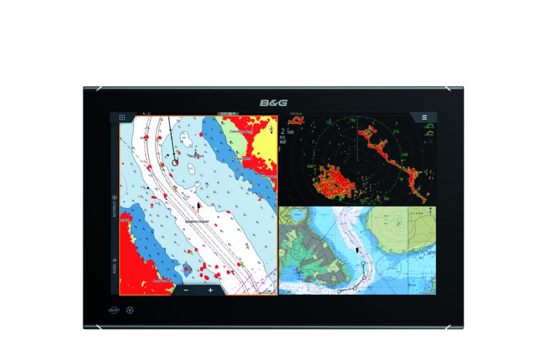
With the C-MAP app, you always have the latest and most detailed chart information at hand on your phone, tablet, or computer. Customize your experience with the chart layers you need – view maps in the way that suits you best. Route planning has never been easier: save your favorite destinations or fishing spots in the app, check the weather, and when it’s time to set off, create your own route or let the Autorouting feature do it for you.

Detailed chart features

Weather and route setup

HRB and autorouting

Points of interest

Custom depth shading

Charts customized for you

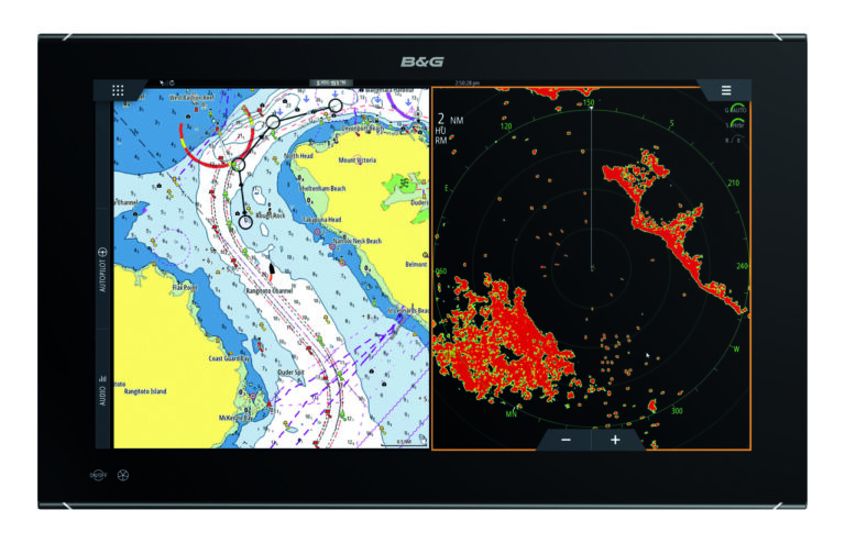
C-MAP charts maintain their accuracy while keeping the map clear and uncluttered. Customize your charts to suit your needs. Turn on your favorite features, choose the appropriate unit of measurement, change the chart type according to your preferences, and use preloaded points of interest or add your own.

Weather

Plan your trips and stay safe on the water with our highly accurate weather forecast features. You can view weather reports including air and water temperature, wind and wave data, precipitation, tides, moon phase, and much more. In addition, you can use the Autorouting feature to plan a route and check the weather for the next 5 days along that journey. Weather data can also be displayed on the map.

Routes, tracks and waypoints

Make the most of your time on the water by planning routes in advance – so you’ll be ready to head out quickly! With waypoints, you can leave a trail behind that you can later repeat or share with friends. Save your favorite places with personal waypoints; choose an icon, edit coordinates, add photos and notes.


C-MAP Traffic and AIS

Increase your awareness and stay safe on the water. See all Class A and B AIS-equipped vessels within a 100 km radius of your current location, and track their position, speed, and course. In busy areas or poor visibility, AIS helps keep you informed and safe. With the C-MAP Traffic feature, you can track your friends and see the locations of other app users.

Autorouting

Simply choose a location or one of your saved places to get a suggested route and estimated time of arrival (ETA). You can even plan ahead on your computer and sync your plans to your tablet or mobile device.
Points of interest

Discover harbors, marinas, beaches, and much more. Available information includes VHF channels, number of berths in the harbor, depth and length, amenities, and even photos and reviews from other users.

High-resolution bathymetry

Helps you identify shoals, drops, edges, depressions, or humps with contour lines accurate to within 0.3 meters.

Custom depth shading

Simply choose a location or one of your saved places to get a suggested route and estimated time of arrival (ETA). You can even plan ahead on your computer and sync your plans to your tablet or mobile device.

GPX import & export

Discover harbors, marinas, beaches, and much more. Available information includes VHF channels, number of berths in the harbor, depth and length, amenities, and even photos and reviews from other users.

Anchoring alarm notifications

Helps you identify shoals, drops, edges, depressions, or humps with contour lines accurate to within 0.3 meters.

*Some features are available only in the Premium version

FREE VERSION

View the latest navigation charts
Manual and autorouting function
Add personal routes and save tracks
Add personal waypoints
GPX import and export
Thousands of points of interest
Marine weather forecast
Weather along the route (24 hours)
Map customization
Distance measurement tool
NEW: Route sharing
NEW: Personalized notifications

PREMIUM VERSION

PLUS FREE VERSION FEATURES:

GPS location and full navigation
Unlimited offline maps (global)
5-day weather along route
5-day weather overlay
High-resolution bathymetry
Custom depth shading
AIS
C-MAP Traffic: view other app users
Shaded relief
NEW: Anchoring alarm notifications
NEW: Satellite view overlay

Introducing the C-MAP app

How to use the autorouting feature?

How to use the weather feature along the route?

Download for free

0
0
Cart
Cart is emptyBack to shop